New Humminbird LakeMaster MN and WI maps
Newly surveyed waters and three layers of aerial image overlay on High Definition waters
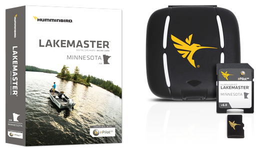
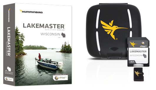
EUFAULA, AL (January 16, 2015) – Humminbird® LakeMaster’s best-selling maps are now even better with more High Definition (HD) lake maps for 2015. Now available are new version 6 products for Minnesota and Wisconsin in micro SD form with full-size SD card jacket. This allows compatibility with Micro SD card units like the new Humminbird Helix family, as well Humminbird units with full-size SD card slots.
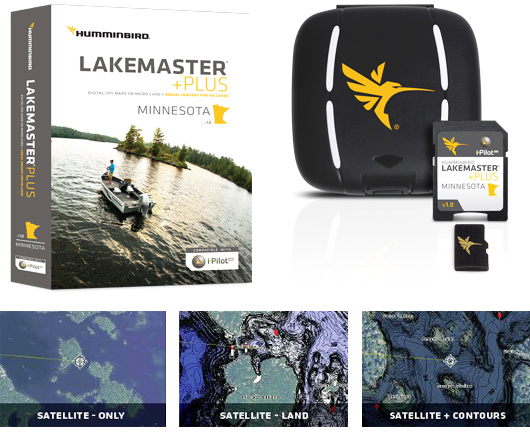
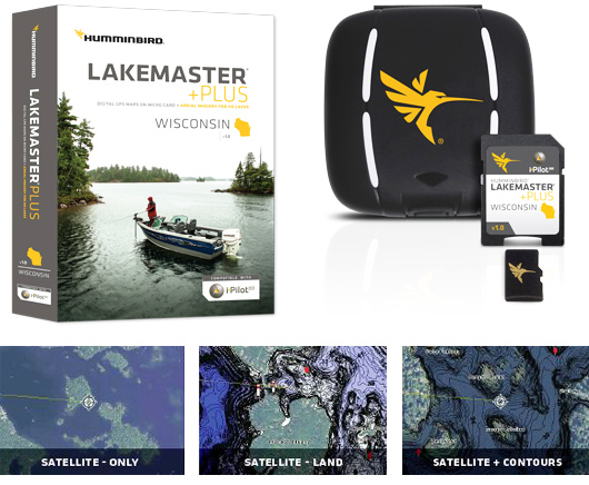
We’ve also added new PLUS editions.
The PLUS series allows for aerial image overlay on High Definition waters in addition to all of the LakeMaster features. Now you have the ability to use quality aerial photography to view the entry and exits of creek channels, see how far a reef or weed line extends, and pick out shallow water rock piles, steep drop-offs or other features of the lake you’ve been missing from traditional maps.
– Contours for over 2,200 lakes
– Over 425 High Definition lake maps including these newly surveyed waters in stunning HD:
Amber, Martin
Ballantine, Blue Earth
Black Hoof, Crow Wing
Budd, Martin
Edna, Crow Wing
Fawn, Crow Wing
Hall, Martin
Ida, Becker
Loon, Cass
Placid, Morrison
Sisseton, Martin
Little Spirit, Jackson (MN / IA)
Spirit Lake, (MN / IA)
Visit the product page for more information on product features like i-Pilot® Link™, images, complete lake list, lake elevations, GPS compatibility and more.
– PLUS allows for 3 layers of aerial image overlay on High Definition waters: Satellite Only, Satellite + Land, and Satellite + Contours
– Contours for over 2,200 lakes
– Over 425 High Definition lake maps including these newly surveyed waters in stunning HD:
Amber, Martin
Ballantine, Blue Earth
Black Hoof, Crow Wing
Budd, Martin
Edna, Crow Wing
Fawn, Crow Wing
Hall, Martin
Ida, Becker
Loon, Cass
Placid, Morrison
Sisseton, Martin
Little Spirit, Jackson (MN / IA)
Spirit lake, (MN / IA)
Visit the PLUS product page for information on product features like i-Pilot® Link™, images, complete lake list, lake elevations, GPS compatibility and more.
– Contours for over 1,145 lakes
– 230 High Definition lake maps, including these newly surveyed waters in stunning HD:
Beaver Dam, Barron
Big Round, Polk
Big Sand, Burnett
Big Sissabagama, Sawyer
Dairyland, Rusk
Holcombe Flowage, Chippewa
Nebagamon, Douglas
Placid, Sawyer
Sand, Burnett
Spooner, Washburn
St. Croix Flowage, Douglas
Tiger Cat Flowage, Sawyer
Visit the product page for information on product features like i-Pilot® Link™, images, complete lake list, GPS compatibility and more.
– PLUS allows for 3 layers of aerial image overlay on High Definition waters: Satellite Only, Satellite + Land, and Satellite + Contours.
– Contours for over 1,145 lakes
– 230 High Definition lake maps, including these newly surveyed waters in stunning HD:
Beaver Dam, Barron
Big Round, Polk
Big Sand, Burnett
Big Sissabagama, Sawyer
Dairyland, Rusk
Holcombe Flowage, Chippewa
Nebagamon, Douglas
Placid, Sawyer
Sand, Burnett
Spooner, Washburn
St. Croix Flowage, Douglas
Tiger Cat Flowage, Sawyer
Visit the PLUS product page for information on product features like i-Pilot® Link™, images, complete lake list, GPS compatibility and more.

For more information visit humminbird.com, contact Humminbird, 678 Humminbird Lane, Eufaula, AL 36027, or call 800-633-1468.
About Johnson Outdoors Marine Electronics, Inc.
Johnson Outdoors Marine Electronics, Inc. is a wholly owned subsidiary of Johnson Outdoors and consists of the Humminbird®, Minn Kota® and Cannon® brands. Humminbird® is a leading global innovator and manufacturer of marine electronics products including fishfinders, multifunction displays, autopilots, ice flashers, and premium cartography products. Minn Kota® is the world’s leading manufacturer of electric trolling motors, as well as offers a complete line of shallow water anchors, battery chargers and marine accessories. Cannon® is the leader in controlled-depth fishing and includes a full line of downrigger products and accessories.

